How to Find Productive Inlets and Jetties Near You
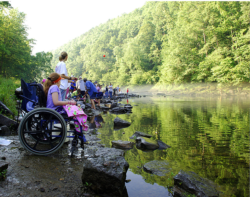
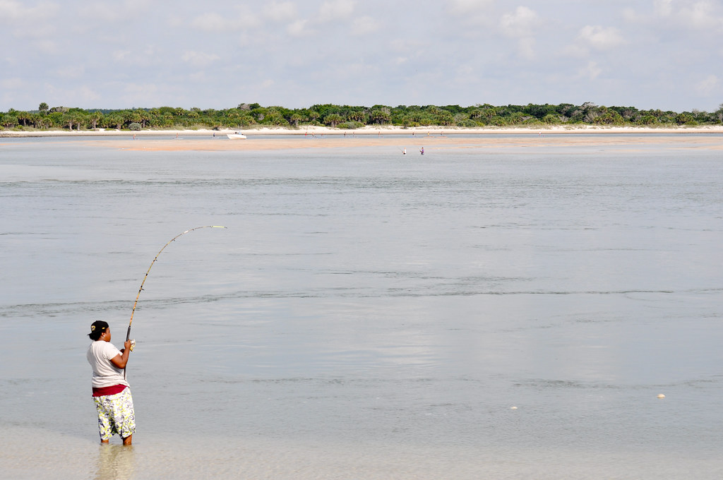
Inlets and jetties offer anglers some of the most productive fishing opportunities available from shore. These dynamic areas where waters converge create natural feeding zones that attract diverse fish species year-round. The flowing currents, structure, and deep channels concentrate baitfish and predators alike, making these spots prime fishing locations for both beginners and experienced anglers. Whether you’re casting from a jetty’s rocky structure or fishing the moving waters of an inlet, knowing how to locate these productive areas near you can transform your fishing success. This guide will walk you through everything you need to know about finding, evaluating, and fishing these productive coastal hotspots.
Understanding What Makes Inlets and Jetties Productive
Inlets and jetties create unique environments that naturally concentrate fish in predictable patterns. Inlets serve as crucial passageways between two bodies of water, such as where a bay meets the ocean, creating strong currents that fish use for feeding and migration. Jetties, as man-made rock structures, provide essential protection for these waterways while creating artificial reefs that attract numerous fish species seeking shelter and food. The combination of moving water, structure, and depth changes creates oxygen-rich environments where baitfish gather, which in turn attracts larger predatory fish. Understanding these dynamics helps explain why these locations consistently produce better fishing results than many other shoreline spots.
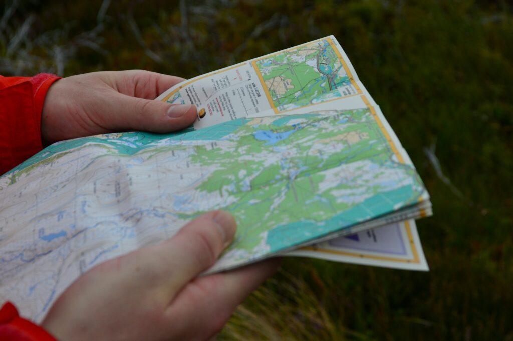
Using Online Mapping Tools to Locate Inlets and Jetties
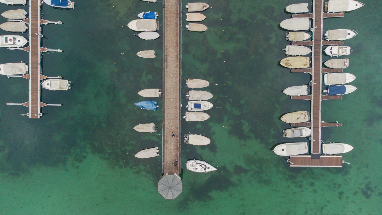
Digital mapping tools have revolutionized how anglers can locate productive fishing spots without leaving home. Google Earth and Google Maps provide excellent aerial views that clearly show coastal features, including inlets and jetties that might not be obvious from shore. When using these tools, look for narrow passages between bodies of water, man-made rock structures extending into the water, and areas where water color changes indicate depth variations or current flow. Many mapping applications now include user-contributed photos that can give you a ground-level perspective of potential fishing locations. For even more detailed information, specialized fishing apps like Fishbrain, Navionics, and FishAngler offer marine charts, user reports, and marked fishing hotspots that can lead you directly to productive inlets and jetties in your area.
Consulting Local Fishing Reports and Guides
Local knowledge remains one of the most valuable resources for finding productive fishing locations. Regional fishing reports from bait shops, marinas, and fishing websites frequently mention specific inlets and jetties where anglers are having success. These reports often include details about which species are biting, preferred baits, and optimal tide conditions that can be invaluable for planning your trip. Local fishing guides, even if you don’t hire them, often maintain blogs or social media accounts where they share general information about productive areas. Many coastal communities have dedicated fishing forums where local anglers discuss their experiences at nearby inlets and jetties, providing real-time information that maps and charts cannot. Building relationships with experienced local anglers can provide insider knowledge about lesser-known but highly productive spots.
Using Government and Navigation Resources
Official government resources provide comprehensive and accurate information about navigable waterways, including inlets and jetties. The National Oceanic and Atmospheric Administration (NOAA) offers detailed nautical charts that show water depths, navigational hazards, and coastal structures with remarkable precision. The U.S. Army Corps of Engineers maintains information about man-made structures like jetties, including their construction details and maintenance schedules that might affect fishing conditions. State natural resource departments often publish fishing access guides that include information about public access points to notable inlets and jetties. These government resources tend to be more reliable and detailed than commercial sources, though they may require some practice to interpret effectively.
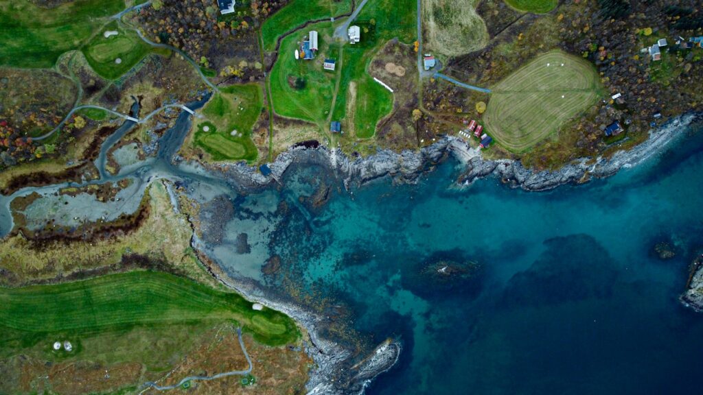
Exploring Satellite Imagery for Hidden Gems
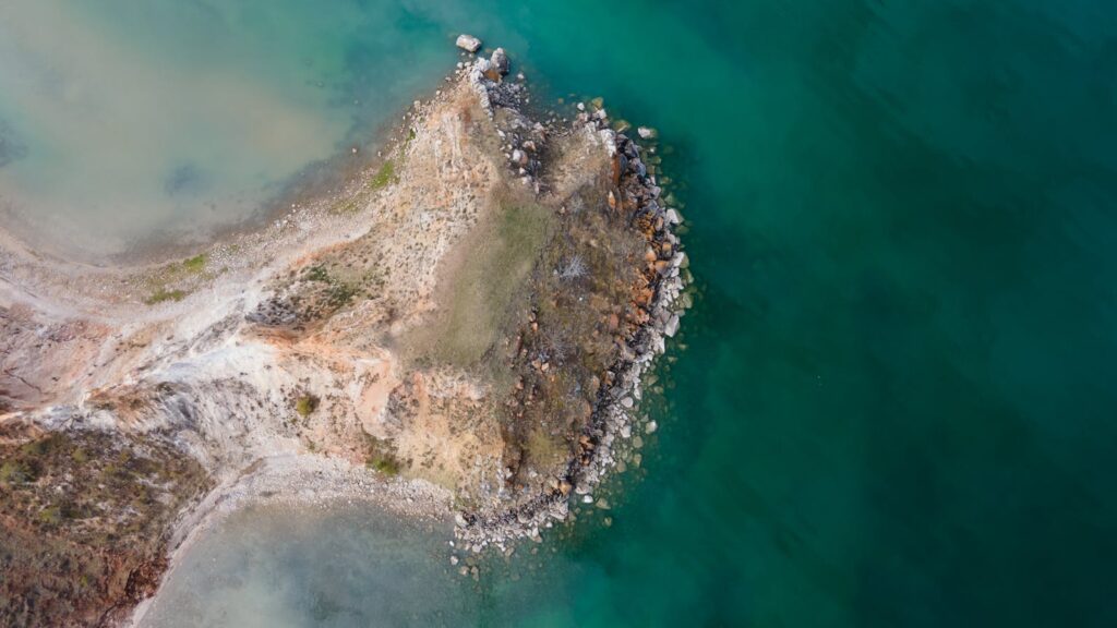
Satellite imagery allows anglers to discover productive fishing spots that might not appear in traditional fishing guides. When examining satellite images, look for tell-tale signs of productive areas such as color changes in the water that indicate depth variations, current lines, or underwater structure. Pay special attention to small, less obvious inlets that might be overlooked by the majority of anglers but still provide excellent fishing opportunities. Historical satellite imagery can also reveal how coastal features have changed over time, helping you identify newly formed channels or recently constructed jetties that might not yet be well-known fishing destinations. For the best results, compare satellite images taken at different tide stages to understand how water movement affects potential fishing spots.
Evaluating Accessibility and Safety
Once you’ve identified potential fishing locations, evaluating their accessibility and safety is crucial before planning your trip. Not all inlets and jetties offer safe or legal public access, with some requiring special permissions or being completely off-limits due to safety concerns or environmental protections. Research whether your chosen location has parking facilities, walking paths, or requires special equipment like waders or climbing gear to access safely. Wave action and tidal currents can make some jetties dangerous during certain weather conditions or tide stages, so check local tide tables and weather forecasts before heading out. Additionally, some locations may have seasonal closures to protect nesting birds or marine life, making it essential to check current regulations before visiting.
Using Social Media and Fishing Communities

Social media platforms have become valuable resources for anglers seeking information about productive fishing locations. Instagram, Facebook fishing groups, and YouTube fishing channels often feature posts about successful fishing trips at specific inlets and jetties, complete with location tags and detailed descriptions. Many anglers share their catches along with the exact locations where they found success, particularly on platforms dedicated to fishing like Fishbrain or specialized Facebook groups. Engaging with these online communities allows you to ask specific questions about locations you’re interested in and receive advice from those with firsthand experience. When using social media for location research, pay attention to seasonal patterns in posts to determine when certain inlets or jetties fish best throughout the year.
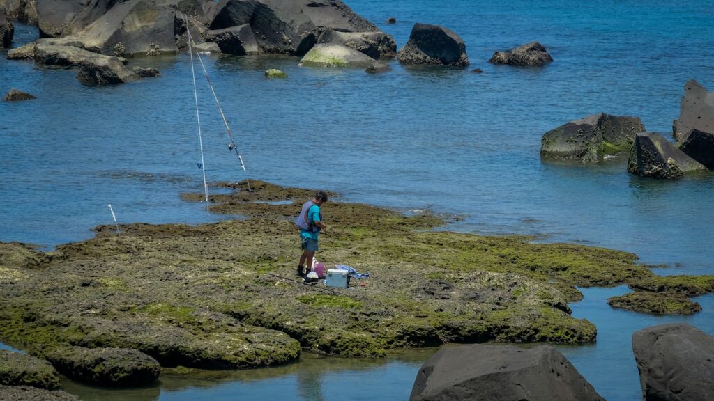
Recognizing Signs of Productive Inlets
Not all inlets are created equal when it comes to fishing productivity, and learning to recognize the signs of a promising location can save you considerable time. Productive inlets typically feature noticeable current flow, which brings nutrients and baitfish through the area and creates feeding opportunities for larger fish. Look for areas where the water narrows, creating acceleration in the current that concentrates fish in predictable locations. Bird activity, particularly diving birds, often indicates baitfish presence and active feeding beneath the surface. Physical features like sandbars, channel edges, and depth changes within the inlet create additional structure that fish use for ambush points. The most productive inlets often show visible signs of water movement such as rips, eddies, and foam lines that mark the boundaries between different current speeds or directions.
Identifying Characteristics of Good Jetties
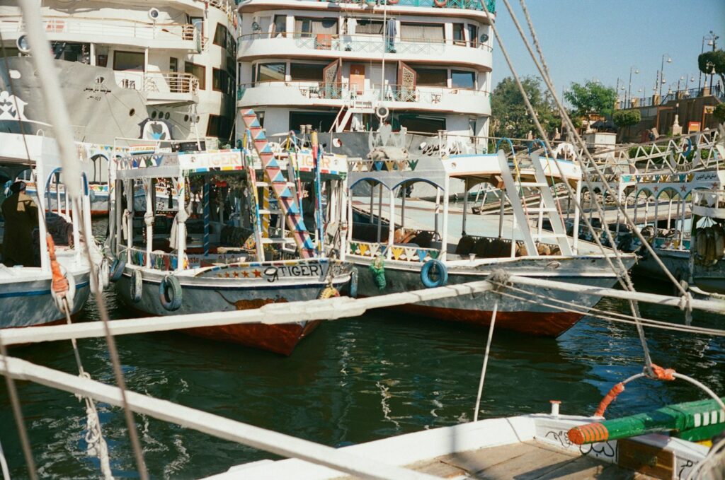
Jetties vary significantly in their fishing potential, with certain characteristics indicating more productive locations. The best fishing jetties typically feature deep water access, allowing anglers to reach fish that aren’t accessible from regular shorelines. Look for jetties with varied structure, including large boulders with gaps between them that create hiding spots for baitfish and ambush points for predators. Jetties that create significant current breaks where fast-moving water meets slower water often concentrate feeding fish along these boundaries. The angle and orientation of a jetty relative to prevailing currents matters significantly; those positioned to create pronounced current edges or eddies typically produce better fishing results. Older jetties with established marine growth like barnacles, mussels, and algae generally support more robust food chains and attract greater numbers of fish than newly constructed ones.
Planning Around Tides and Weather
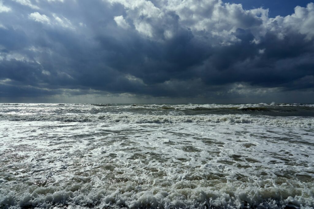
Tidal movement and weather conditions dramatically influence fishing success at inlets and jetties, making timing a crucial factor in your planning. Moving water generally produces better fishing than slack tide, with many anglers finding the middle hours of incoming or outgoing tides most productive as they create optimal current flow. Strong onshore winds can improve fishing at ocean-facing jetties by pushing baitfish against the structure and creating turbulence that predatory fish exploit. Conversely, extended periods of rough weather can make jetty fishing dangerous and unproductive due to excessive wave action and water turbidity. Seasonal weather patterns also dictate fish movement, with many species using inlets as migration pathways during spring and fall, creating periods of exceptional fishing opportunity. Understanding how local fish species respond to specific tide and weather conditions at your chosen location can dramatically improve your success rate.
Using Technology for Real-Time Updates
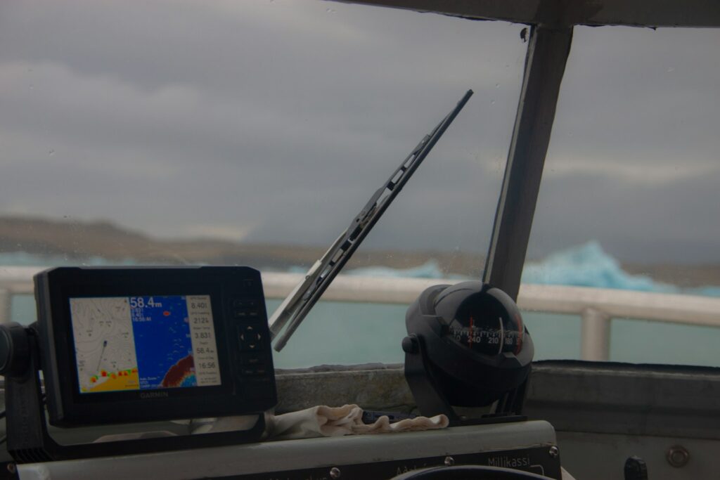
Modern fishing technology enables anglers to receive real-time information about conditions at inlets and jetties before and during their fishing trips. Smartphone apps like Windfinder, Tides Near Me, and Weather Underground provide up-to-the-minute information about critical factors like wind direction, tide stage, and wave height that affect fishing conditions. Some coastal areas have webcams positioned near popular fishing jetties that allow you to visually assess conditions before making the trip. Water temperature sensors and tide gauges at many inlets transmit data that’s accessible online, helping you determine if conditions match the preferences of your target species. Advanced anglers often combine multiple data sources through fishing dashboard apps that aggregate weather, tide, and fishing reports in one place for comprehensive planning.
Building Your Own Location Database

Creating a personal database of productive inlets and jetties allows you to refine your fishing strategy over time and avoid repeatedly searching for good locations. Keep detailed notes about each location you fish, including specific productive spots within larger areas, such as which end of a jetty produced best or where along an inlet you found success. Record the conditions during your trips, including tide stage, weather, water clarity, and any other factors that might have influenced your results. Photographs with landmark references can help you return to exact spots where you found fish in the past. Many serious anglers use fishing log apps or waterproof notebooks to maintain this information, reviewing it seasonally to identify patterns that might not be obvious after just a few visits. This personal database becomes increasingly valuable over time, often revealing subtle patterns that published fishing guides miss.
Understanding Seasonal Patterns at Inlets and Jetties
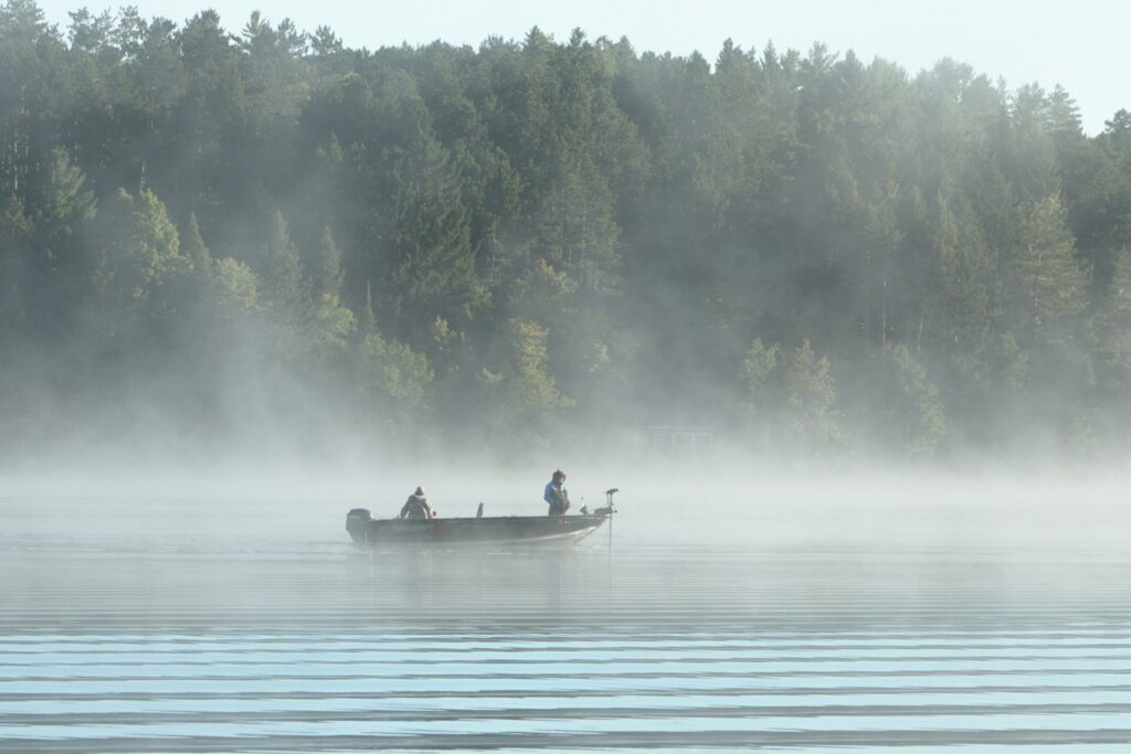
Fish behavior at inlets and jetties changes dramatically throughout the year, creating distinct seasonal opportunities for anglers who understand these patterns. Spring often brings migratory species moving through inlets to spawn or feed, creating some of the year’s most productive fishing as these fish concentrate in predictable locations. Summer typically establishes more stable patterns with resident fish species, though early morning and evening fishing becomes more productive as fish avoid the midday heat. Fall migrations again concentrate fish around inlets as they move toward wintering grounds, often triggered by water temperature changes and baitfish movements. Winter fishing at jetties can remain productive even when other areas slow down, as the deep water access and structure provide refuge for fish seeking stable water temperatures. Learning the specific seasonal patterns for your local inlets and jetties allows you to focus your efforts during peak productivity periods for different species.
## Conclusion
Finding productive inlets and jetties near you combines research, technology, and on-the-water experience to discover these fishing hotspots. The effort invested in locating these productive areas typically pays off with more consistent catches and greater fishing enjoyment. By utilizing mapping tools, fishing reports, local knowledge, and your own observations, you can build a network of reliable fishing locations that produce throughout the year. Remember that conditions at these dynamic fishing spots constantly change with tides, weather, and seasons, making each visit a new experience. As you become more familiar with your local inlets and jetties, you’ll develop an intuitive understanding of how fish use these areas, allowing you to adapt to changing conditions and consistently find success where land meets sea.


Post Comment